
why streamline
Streamline combines technical expertise, innovative technology, and a practical approach to help clients solve complex infrastructure challenges with confidence. We work closely with our clients to understand their goals, identify the right solutions, and deliver results that are both technically sound and built for real-world conditions.
Our team brings together experience across water resources, flood risk management, infrastructure, geospatial technology, and advanced modeling. By combining these capabilities with responsive communication and a commitment to execution, we help communities make informed decisions, reduce risk, and build infrastructure that is prepared for the future.
service overview
Streamline designs natural and nature-based solutions that improve water quality, reduce flood risk, and enhance community resilience. Our experience includes low impact development (LID), green stormwater infrastructure, detention and retention systems, stream restoration, erosion control, water quality improvements, and sustainable drainage practices. We integrate green infrastructure into public works and watershed projects to deliver cost-effective solutions that balance environmental stewardship with long-term performance and maintainability.
We prepare Stormwater Pollution Prevention Plans (SWPPPs) that help construction projects comply with TCEQ permitting requirements and protect water quality during construction.
We develop Water Pollution Abatement Plans (WPAPs) that demonstrate compliance with TCEQ regulations while protecting sensitive water resources and environmentally critical areas.
We prepare Contributing Zone Plans (CZPs) that address stormwater management and water quality requirements for development within regulated recharge and contributing zones.
We design stable, nature-based stream restoration and channel improvements that reduce erosion, enhance habitat, and restore long-term hydraulic and geomorphic function.
Our Process
Planning
Disaster Response
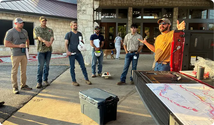
Whether you’re facing a long-range planning need or responding to a flood event, it starts with a call and we answer, including on our 24/7 emergency line. Every project begins with understanding the unique challenges facing your community, so before we talk scope, we listen: your drainage and flood risks, your constituents’ concerns, your funding realities.
From day one, we act as an extension of your team, not an outside consultant.
Our Process
Needs
Funding
We chart the course together through procurement and into a clear scope, schedule, and delivery plan. Where funding is the hurdle, we help you pursue it: benefit-cost analyses, grant applications, hazard mitigation funding, and FEMA coordination that turn a needed project into a funded one.
You’ll know exactly what’s being delivered, when, and how it advances your community’s resilience.
Our Process
Analysis
Design
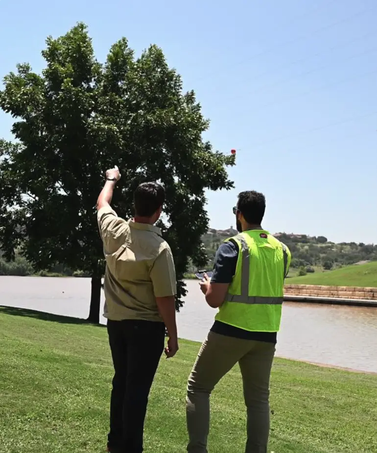
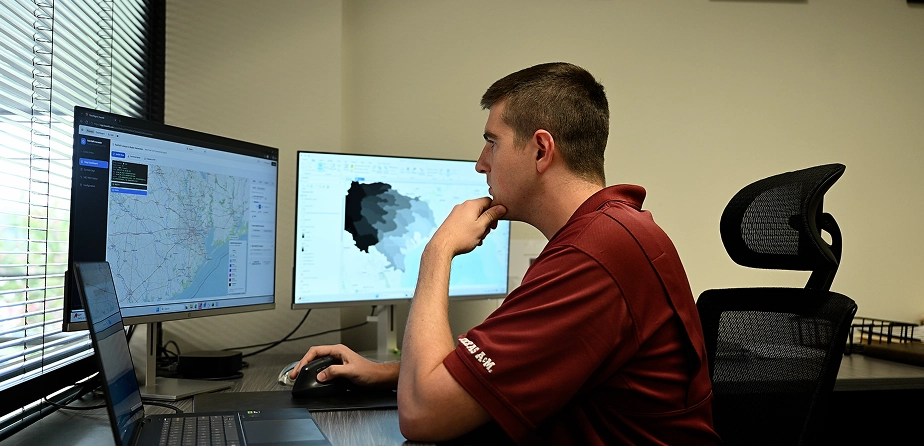
Our engineers get to work with modern tools 2D flood models, geospatial analytics, and interactive mapping that let you see the risk and the solution, not just read about it. We carry the design from H&H analysis through permit-ready documents, and we take the regulatory and stakeholder coordination off your plate: FEMA submittals, river authorities, railroads, and utilities.
Proactive communication means you’re never chasing us for a status update.
Our Process
construction
Infrastructure
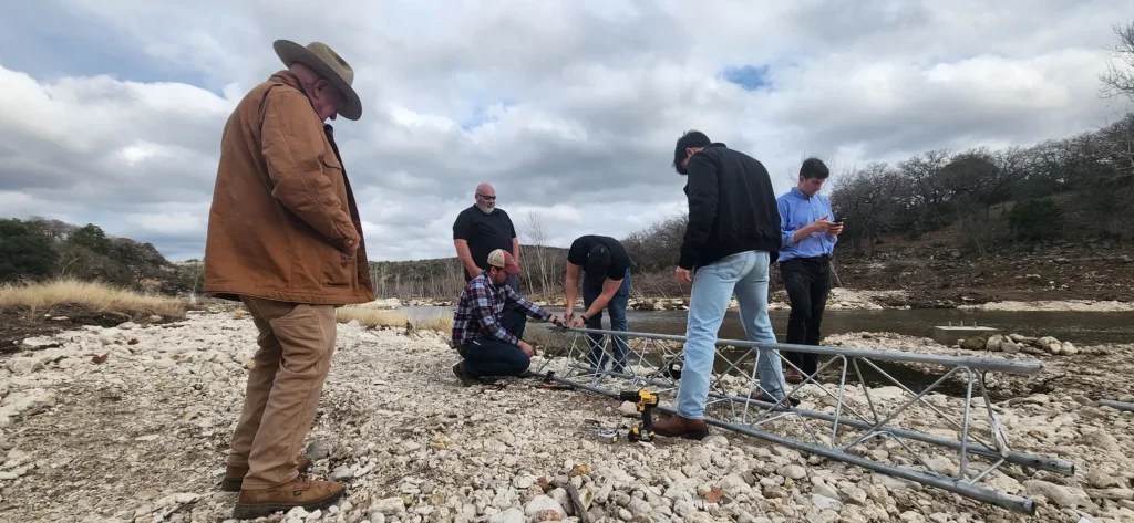
We stay with you through construction, responsive to field questions and decisive when problems arise, all the way to closeout. Our extreme ownership mindset means we measure success by your community’s outcomes reduced flood risk, resilient infrastructure, dollars well spent not simply the completion of our scope.
Case Study
Recurring flooding at the Judson Road and Lookout Road low-water crossings posed a significant risk to public safety, emergency access, and transportation reliability. The project required replacing aging drainage infrastructure while accommodating railroad constraints, minimizing impacts to surrounding development, reducing flood risk, and supporting state and federal grant funding initiatives.
Case Study
Recurring flooding at the Judson Road and Lookout Road low-water crossings posed a significant risk to public safety, emergency access, and transportation reliability. As the drainage lead, Streamline developed comprehensive hydrologic and hydraulic
analyses to evaluate existing flood conditions and optimize proposed improvements.
Join our network
Natural disasters don’t wait, and neither should planning. Whether you’re preparing for future flood risks, responding to an emergency, or investing in long-term infrastructure improvements, Streamline provides the expertise communities need for what comes next.
JOIN OUR NETWORK